
What is Drought?
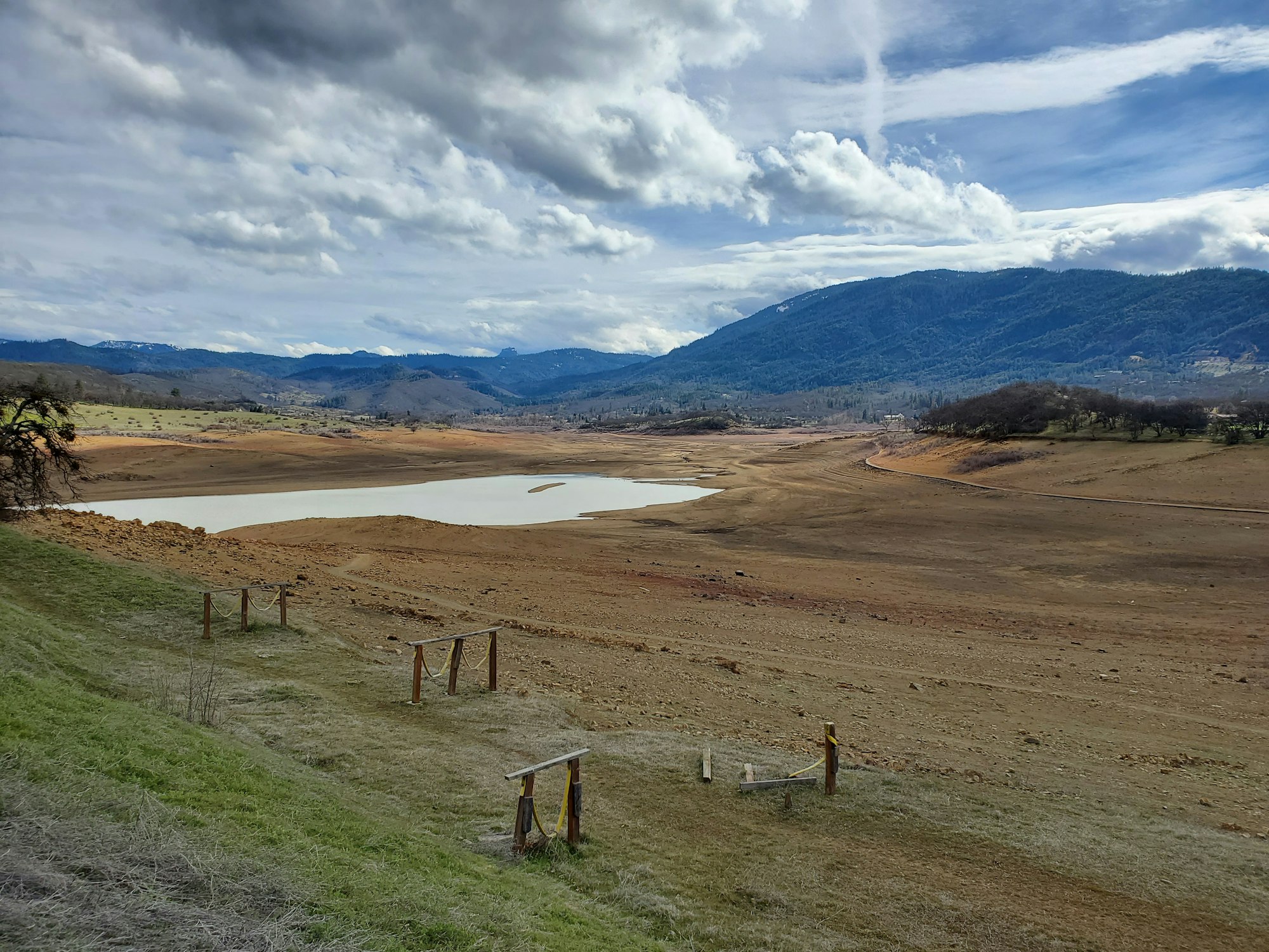
Unfortunately, drought conditions are becoming the new normal in Jackson County posing challenges for residents, agricultural producers, and fish and wildlife. Use the resources below to learn more about changing conditions.
What does a drought declaration mean?
A drought declaration helps Oregon agencies coordinate response. It may also open short-term emergency tools for eligible water right holders. It does not mean every household, farm, well, or creek will experience drought the same way.
Drought emergency tools are generally short-term options, not permanent fixes. Water right holders should contact their local watermaster to understand what options may apply.
What to Watch During Drought
Drought conditions are not measured by one map alone. Use Drought.gov’s Jackson County page as a starting place to look at current conditions, possible future conditions, and how this year compares to past years. The U.S. Drought Portal is already recommended in the resource materials as a place to explore current-condition maps and sign up for local drought alerts.
Drought status
Drought status shows the current drought level for an area, using the U.S. Drought Monitor. It is a helpful first look, but it does not tell the whole story for every creek, farm, well, or neighborhood.
Precipitation
Precipitation shows how much rain or snow has fallen compared with what is normal for the area. This matters because most Rogue Basin precipitation falls in winter, while summer rainfall is very limited.
Temperature
Temperature shows whether conditions are warmer or cooler than normal. Hot weather can increase water demand, dry out soils and vegetation faster, and add stress for people, livestock, crops, gardens, and streams.
Agriculture
Agriculture indicators may include crop conditions, pasture conditions, and soil moisture. These help show how drought is affecting farms, ranches, hay fields, and working lands.
Water supply
Water supply includes streamflow, groundwater, reservoirs, and related water data. Low streamflow or reservoir storage can affect irrigation, fish habitat, recreation, and water management decisions. The Rogue Basin relies on a connected system of winter precipitation, snowpack, groundwater, streams, reservoirs, and irrigation infrastructure.
Public health
Drought can connect with heat, smoke, dust, and drinking water concerns. Watching public health information can help households prepare for hot, dry months and protect people who may be more at risk.
Drought outlook
Drought outlooks and precipitation forecasts show what conditions may look like in the weeks or months ahead. They are not guarantees, but they can help residents, farms, water systems, and communities plan earlier. See Current Drought Conditions for current data on Jackson County.
Alerts
Sign up for drought alerts to stay informed as conditions change. Alerts can help you know when new drought updates, forecasts, or regional briefings are available. Sign up for local drought alerts from Drought.gov to receive email updates when drought conditions change for your city or ZIP code, or when new drought outlooks are released. https://www.drought.gov/drought-alerts/signup
Learn about Drought
Oregon Water Resources Department Oregon Drought
Current Drought Information
U.S. Drought Monitor Conditions for Oregon
U.S. Drought Monitor Conditions for Jackson County
USDA Oregon Snotel Snow/Precipitation Report
Jackson County Reservoir Levels & Flow Rates
United States Bureau of Reclamation
United States Army Corps of Engineers
Adapting to Drought in Agriculture
OSU Extension Pasture Management and Drought

